

MULTI DAY
HIGHLANDS PACKRAFT EXPEDITION
This 4-day odyssey takes in some of Iceland’s most spectacular highland scenery and sets an example of how packrafts can be used to full effect in Iceland’s wilderness

SEASON
Summer

TRIP LENGTH
4 Days

DIFFICULTY
Challenging

MAX GROUP SIZE
6

DISTANCE KAYAKING
~8km

DISTANCE HIKING
~3km
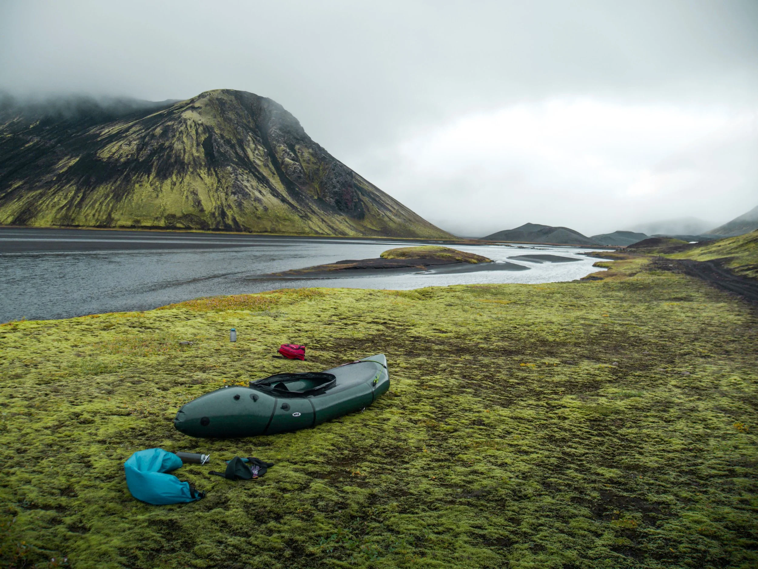
Starting at the volcanic rift of Laki, we hike across lava fields and cross the mighty Skaftá river to reach the crater lined lake of Langisjór. In the shadow of the great Vatnajökull icecap, lush green moss gives out to black sands as we cross the lake and hike into Tungnaáröræfi: the Tungna river wilderness. Jagged peaks line the river which leads us towards the golden rhyolitic mountains and hot springs of Landmannalaugar.
We use packrafts (lightweight inflatable kayaks) which weigh around 4kg. These boats allow us to cross remote bodies of water and make create new routes on previously untouched sections of the map.

HIGHLIGHTS OF THE TRIP
Laki volcanic rift: our starting point is this 25km volcanic rift which was created in one of the largest lava flows in recorded history, the 1783 fires of Laki.
Skaftá: this silver-grey torrent emerges from Vatnajökull ice cap, made up of glacier meltwater. It is too large to cross on foot or by car, and unbridged for 40km downstream. This is part of the reason that the route we take sees so few visitors: for anyone without packrafts, the river stands in their way.
Langisjór: A beautiful “inland sea” (Langisjór translates to “long sea”) lined by volcanic craters and mossy green mountains.
Tungnaáröræfi: The Tungna River Wilderness is the area between Langisjór and Tungna river, and consists of a black volcanic desert with jagged, colourful mountains.
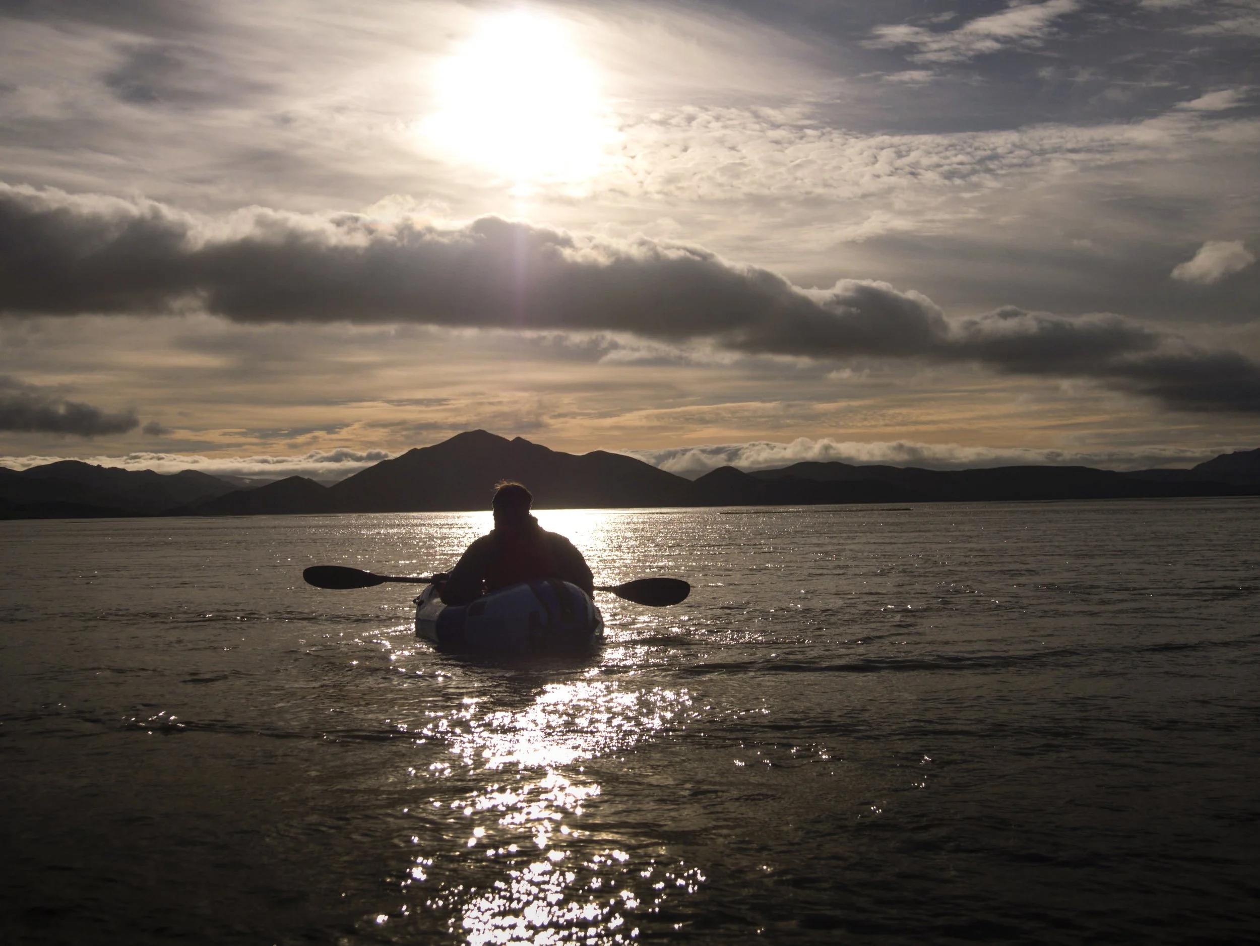
Tungnaá: a large glacial river descending from Vatnajökull which cuts through amazing landscapes. As we descend the river, black sands line the right bank whilst the left bank turns to green mountains.
Landmannalaugar: the most popular highland destination in Iceland, and not without good reason. Golden and green mountains, lava fields and a hot spring right next to the campsite!
Beyond Roads, Across Rivers.
Crossing rivers others can’t, we open up a hidden route through Iceland’s dramatic highlands. From volcanic rifts to crater lakes, every mile is earned.
What’s included?
Professional glacier and kayak guide
Transportation in a 4x4 vehicle to the trailhead
Crampons and safety equipment for crossing the glacier
Kayaking equipment: boat, drysuit, PFD, paddle
What should I bring?
Warm clothes including two pairs of warm socks!
Phone or camera
Hat and gloves
Bottle of water / snacks
Sunglasses
ITINERARY
Day 1: Laki - Langisjór
Meet and briefing, gear check.
Drive to Laki craters: around 2hrs drive from the main road into the highlands. 4x4 car required with mandatory river crossings.
Hike 10km across lava fields to Skaftá, a large glacial river.
Paddle across the river and cross the mountains to reach Langisjór.
Camp next to Lake Langisjór.
Day 2: Langisjór - Sveinstindur - Lónakvísl
Hike up Sveinstindur (~3hrs), the tallest peak of the region with an amazing panorama.
Paddle ~5km to the end of lake Langisjór.
Hike through the black sand desert to Lónakvísl, an oasis in the black sand (~7km)
Camp at Lónakvísl.
Day 3 Lónakvísl - Tungnaá
Hike to Tungnaá (3km)
Paddle 25km in direction of Landmannalaugar
Camp by freshwater inlets on the river left
Day 4 Tungnaá - Landmannalaugar
Finish paddling the final 5km
Hike or hitchhike to Landmannalaugar
Hot springs and beers!!
The guided trip ends here, but we’ll be situated in one of the best hiking areas in the country. Recommended to spend an extra day or two exploring the area before taking a bus back to Reykjavík (there is a regular schedule from Landmannalaugar to Rvk).

POINTS TO CONSIDER
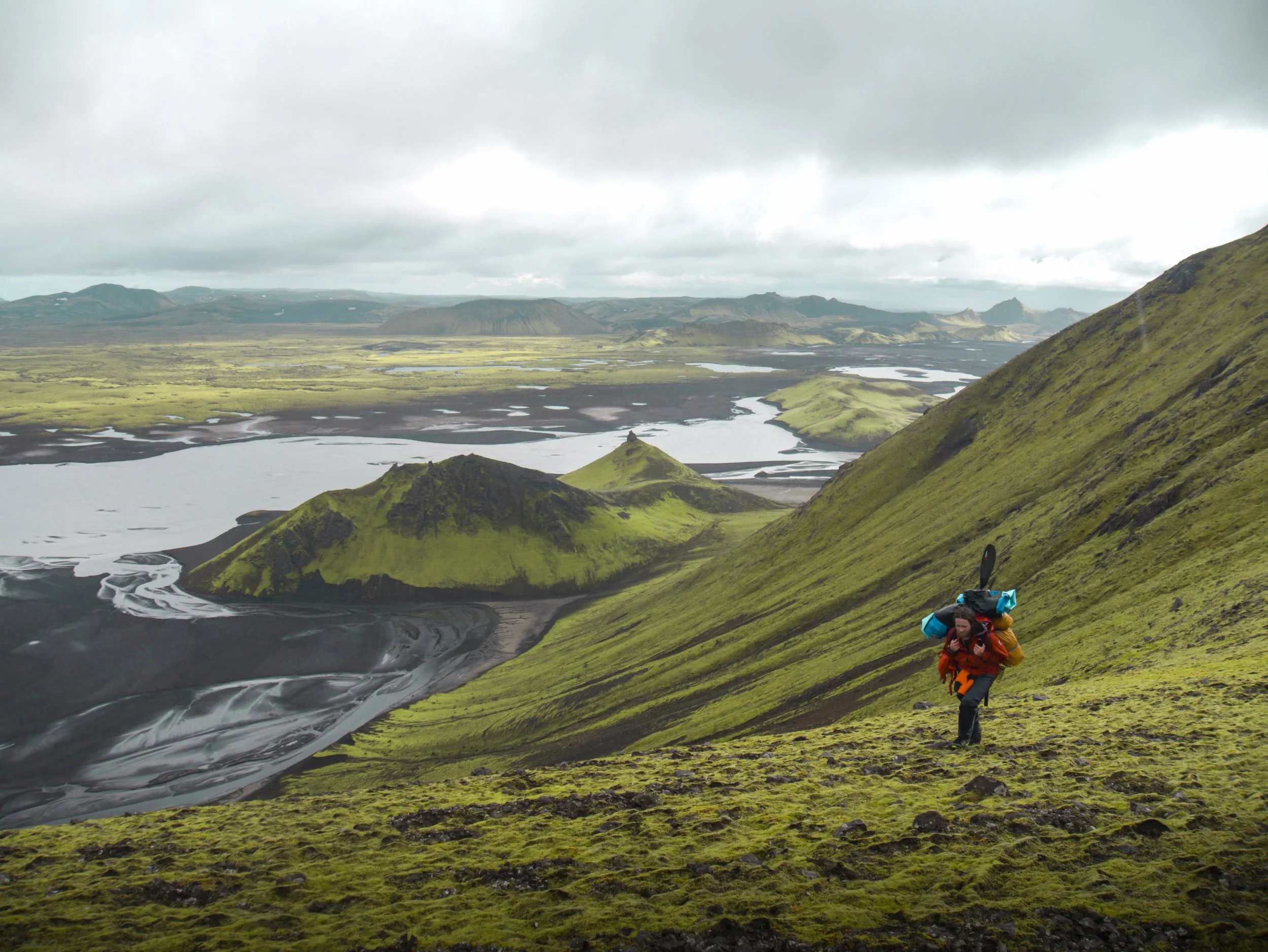
This trip is challenging: although the distances are not crazy, we’ll be carrying everything on our backs, including our kayaking equipment (boat, paddle, drysuit etc.) and camping gear (tents, sleeping bags, food, stoves, gas etc.). Suitable for those in good physical condition!
This route takes us to remote places far away from the roads. Therefore, we need to have a decent weather forecast to allow us a sufficient margin of safety. The weather in Iceland is often uncooperative, so we will need to enter this with a flexible mindset and ready to make changes if necessary. It is always a possibility that we get stormed off, though it is rare to get 3 – 4 day storms in summertime.


WHERE WILL YOU MEET US?
The meeting point for this tour is at Kirkjubæjarklaustur gas station. We recommend finding accommodation in Kirkjubæjarklaustur the night before the trip departure.
Click here for directions
-
If weather conditions make the proposed route unsafe, then we may have to cancel the trip- in which case a full refund will be provided. We will always do our best to offer an alternative option when possible. ription text goes here
-
Short answer: Yes! However whilst kayaking there is always a risk of electronics getting wet due to splashes from the paddle.
With this in mind: if you have a waterproof phone, then only bringing this is the simplest option for most people. There is a pocket on the PFD to store it, which allows easy access whilst paddling. If your phone is not waterproof, or you would like to bring a camera, we would advise bringing a dedicated drybag or waterproof phone case. tion text goes here
-
Yes. This is a full day tour, so we will definitely find a nice place to stop to eat. The length of time we stop for will depend on the weather and the energy of the group.
FAQ
-
The difficulty of this tour is rated moderate/challenging. This is a full day tour where it is expected to spend 7 hours outdoors, hiking and kayaking. Therefore, it is recommended to have a good basic level of fitness to take part in this tour. For example, if you have experience doing day-hikes of >10km with a backpack then this tour will not be too difficult. As the longer portion of this trip is kayaking, if you are a very experienced kayaker then the requirements for overall fitness can be reduced a little.
-
Yes. We paddle on flatwater; the boats are very stable and therefore this trip is suitable for first time kayakers. Paddling instruction will be given by your guide.
-
Yes. Our boats have a maximum capacity of 120kg and we have drysuits up to size XXL. Due to the water temperature, drysuits are essential for safety and if you cannot fit comfortably inside the drysuit then you will not be able to participate in the tour. Get in touch with us via email or phone if you need any clarification regarding this