
Icelandic Highlands Packraft Expedition: Part Two
Day 1: Laki to Langisjór
18 km
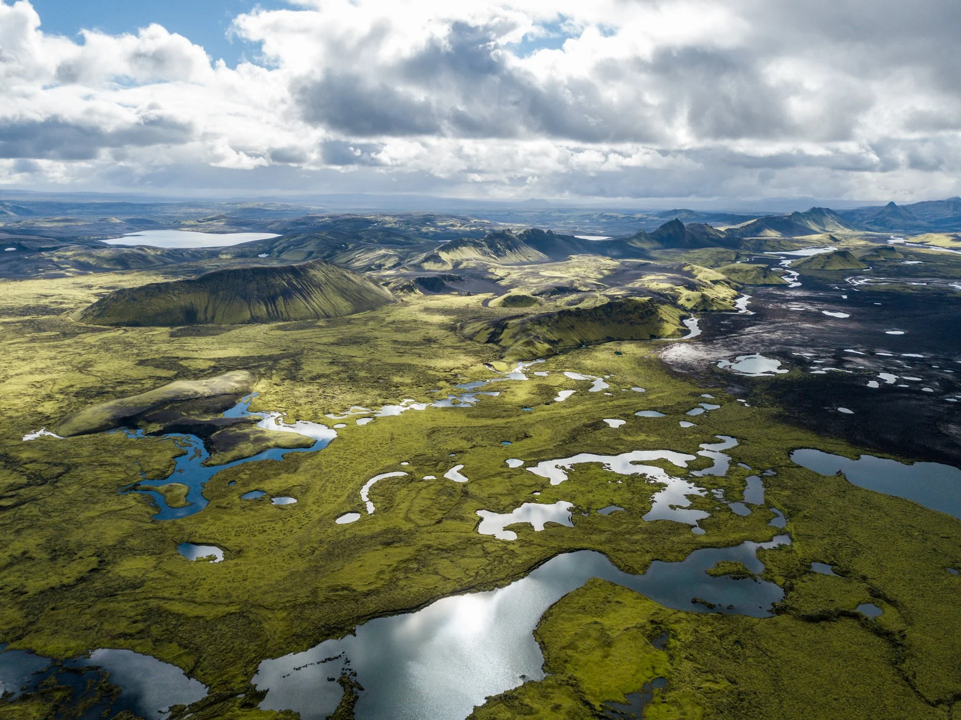
Head NNW from Laki, crossing mossy lava fields in the direction of Skaftá river.
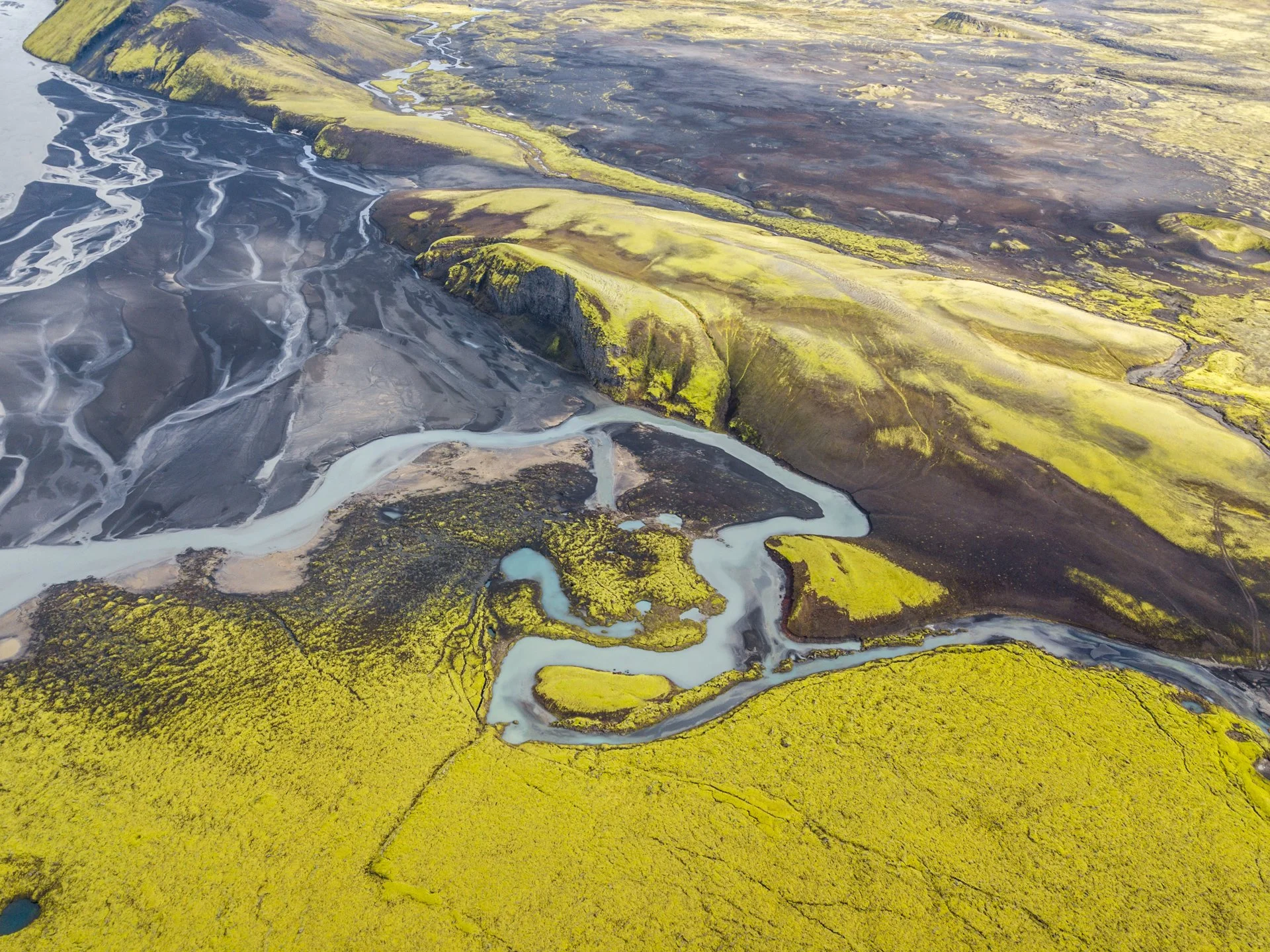
Paddle across Skaftá river. This is one of the larger rivers from Vatnajökull ice cap and it is not possible to ford on foot.
Put in: 64.114387, -18.297201
The exact put in will vary with water level, but this bend in the river provides a good point to enter. The river is slow moving and flat at this section, however, 1 km downstream the river quickens and becomes more turbulent. Another 4 km further and the river flows into a tight canyon over a violent waterfall: not the place for person nor packraft.
Skaftá river floods (usually) annually with water from the caldera of sub-glacial volcano Grímsvötn. Sometimes, the floods will have little impact on water levels and are noticed only by the changing electrical conductivity of the water (monitored by the Icelandic Met Office, Veðurstofan). Sometimes, the floods will be much larger and can cause closures of route 1. Whilst it is not known how these floods would affect the crossing, it is worth keeping in mind and making a judgement on the safety of the crossing if the water level appears unusually high.
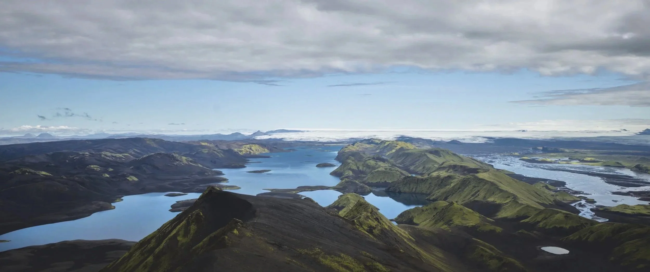
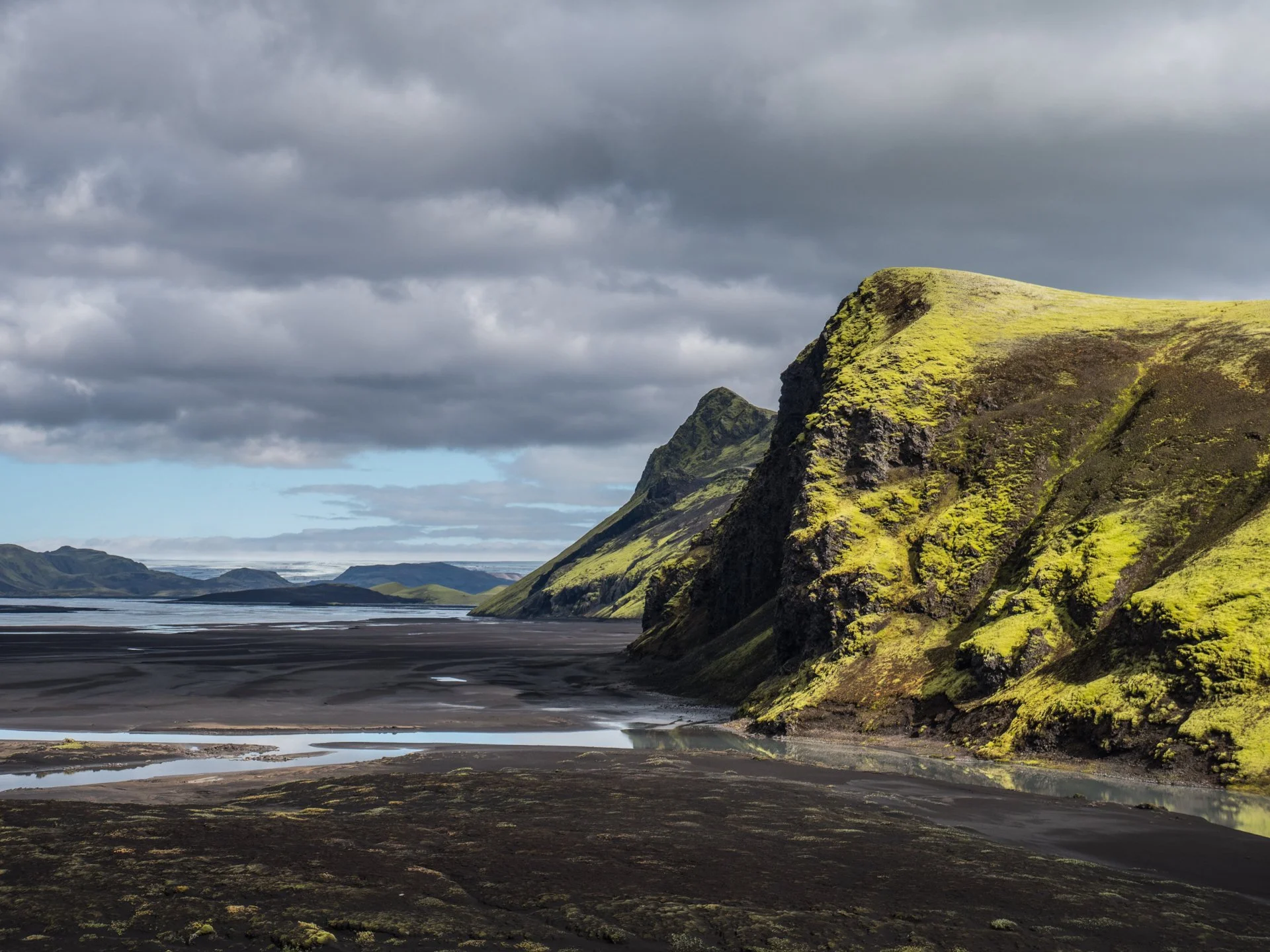
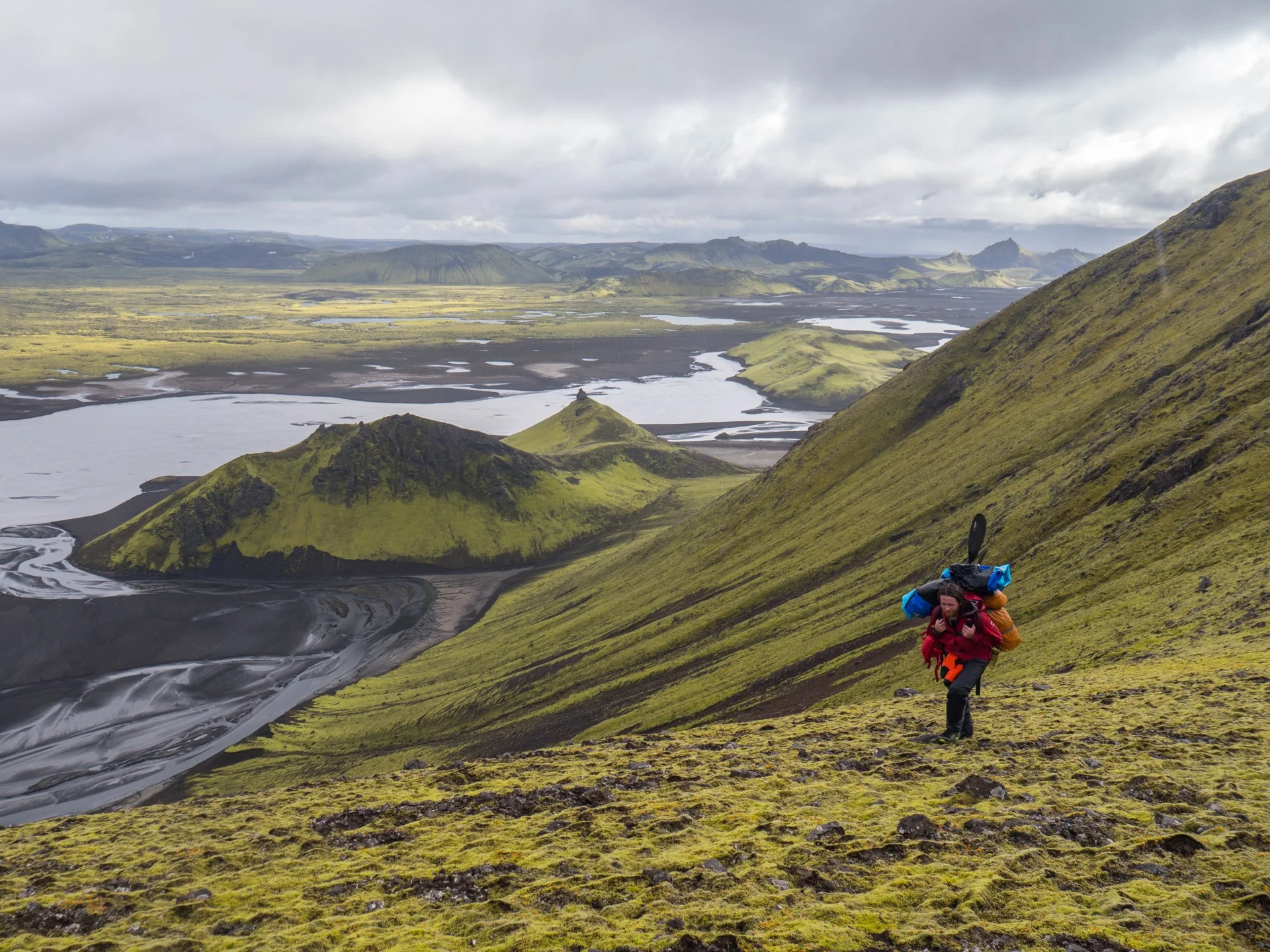
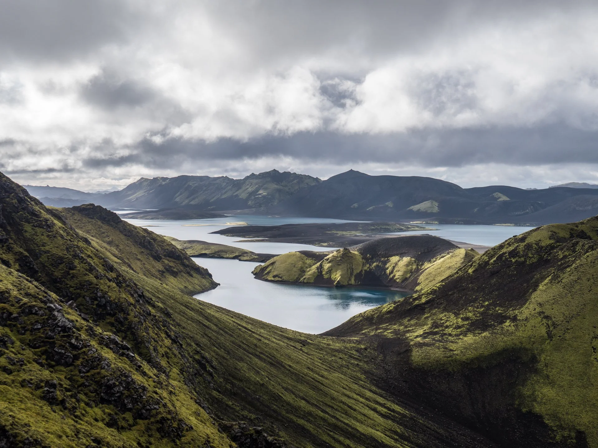
After crossing the river, Langisjór is hidden by a row of volcanic craters. Cross the mountains (64.129370, -18.334500) and descend a steep gully to the water’s edge.
Put-in (64.132336, -18.351816) and paddle 1 km, then portage a small section which separates you from the main lake (64.130569, -18.366582).
Paddle 2 km to a mossy campsite on the southern side of the lake (64.118712, -18.403710).
All photos © Marek Čavojský.
Day 2: Langisjór to Lónakvísl
14 km (including Sveinstindur side-quest)
Overlooking lake Langisjór (e: Long Sea) is the mountain with perhaps the best view in Iceland: Sveinstindur. It rises 400m above the lake, and it the most prominent mountain for miles around. On a clear day, this gives amazing views over Langisjór, the Vatnajökull icecap, Laki and Tungnaáröræfi.
If the weather allows, climbing Sveinstindur is a must! It is possible to hike from the campsite to the main trail, traverse the mountain and loop back to the campsite, but here I will describe only the shortest and simplest route.
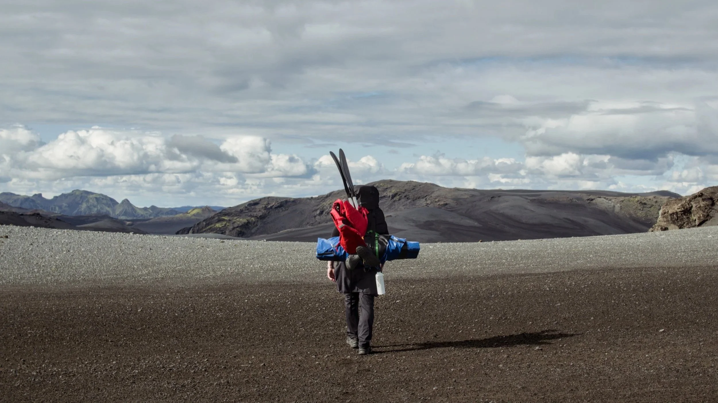
Paddle to the end of the lake (64.108328, -18.456571). Here, you can leave all of your paddling equipment to go light up the mountain. Cross the black sand valley to the start of a marked trail up the mountain (64.103356, -18.445239). The ascent is steep and requires a good fitness level.
After returning to the boats, the aim is to reach the next drinkable water of Lónakvísl, a small river bisecting a black desert.
Hike southwest on F235 briefly, before following a track to the north (64.104747, -18.465817).
At the fork in the road (64.108674, -18.477512), turn left.
Here, we have two options. Option A will be described, with option B noted beneath the article.
Option A has slightly less hiking and more paddling. Option B is a safer option if the river level is very low or there are strong headwinds. Both options pass through amazing terrain.
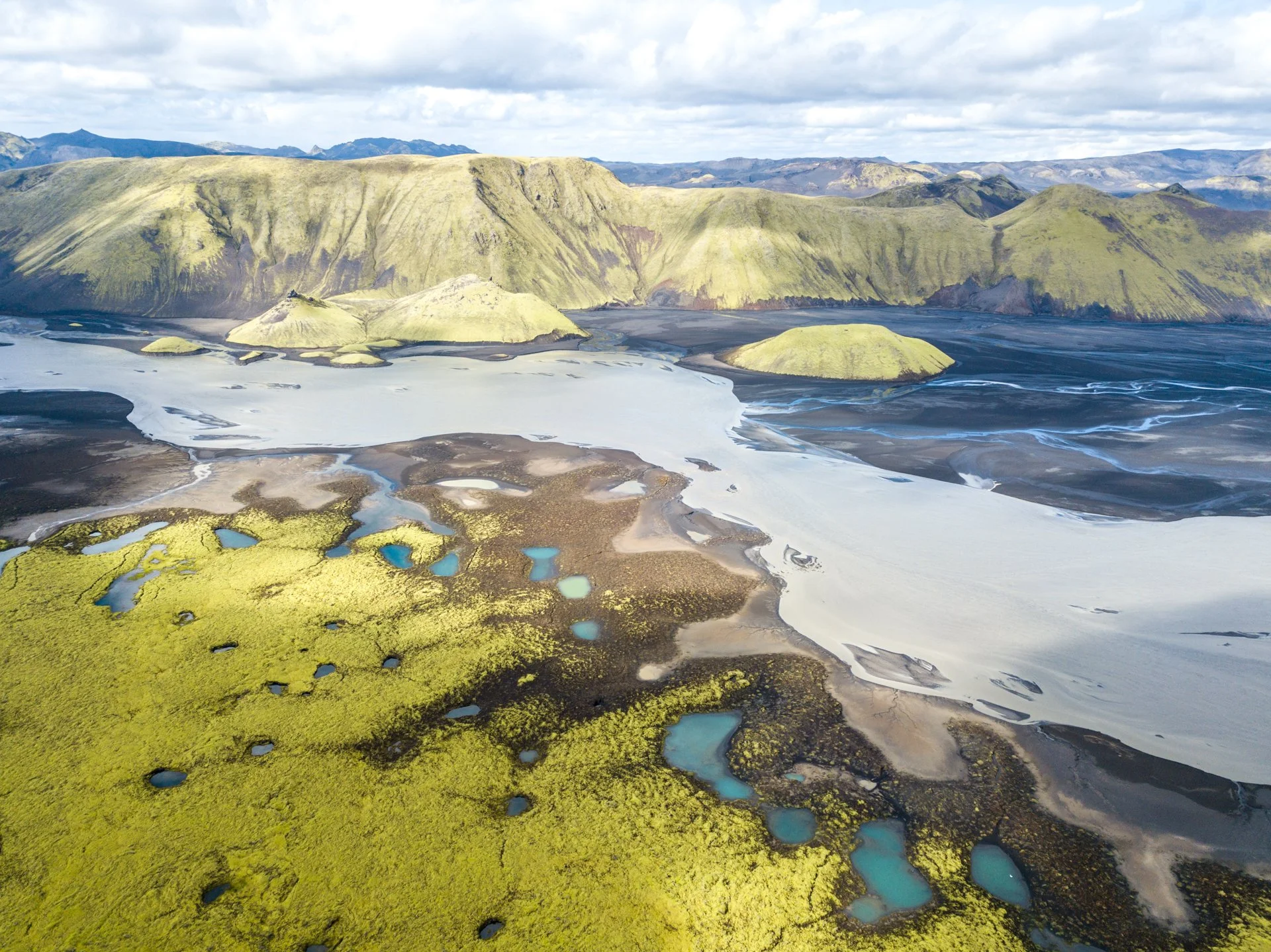
Shortly after the fork in the road, turn right and quest out into the black sands. Aim for a low pass (64.119803, -18.509781) and then to a lovely campsite next to the small river Lónakvísl (64.134993, -18.528770). It is worth noting that this is the last clear water that you will see for quite a while: water in the glacial rivers is full of fine sediment.
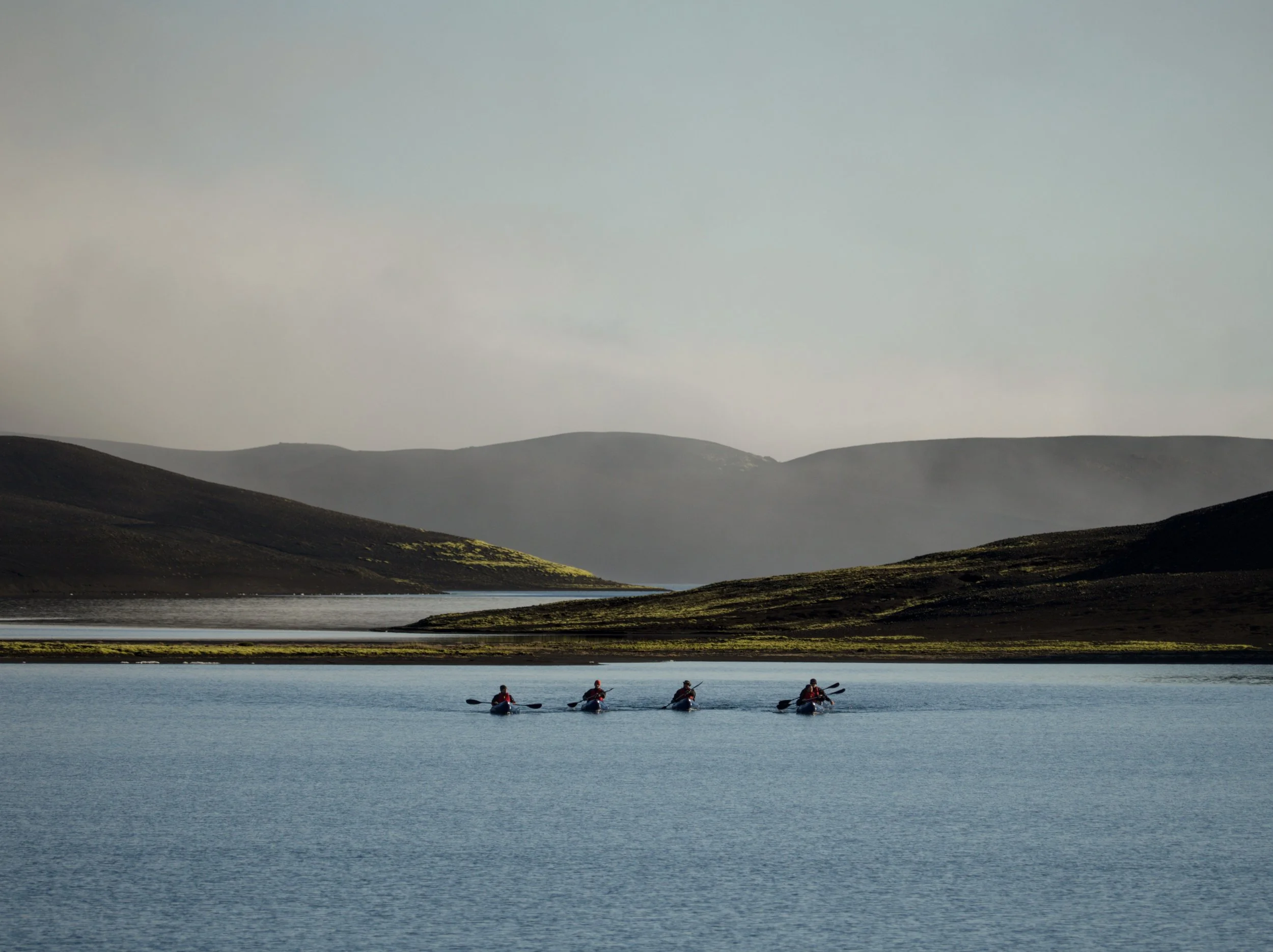
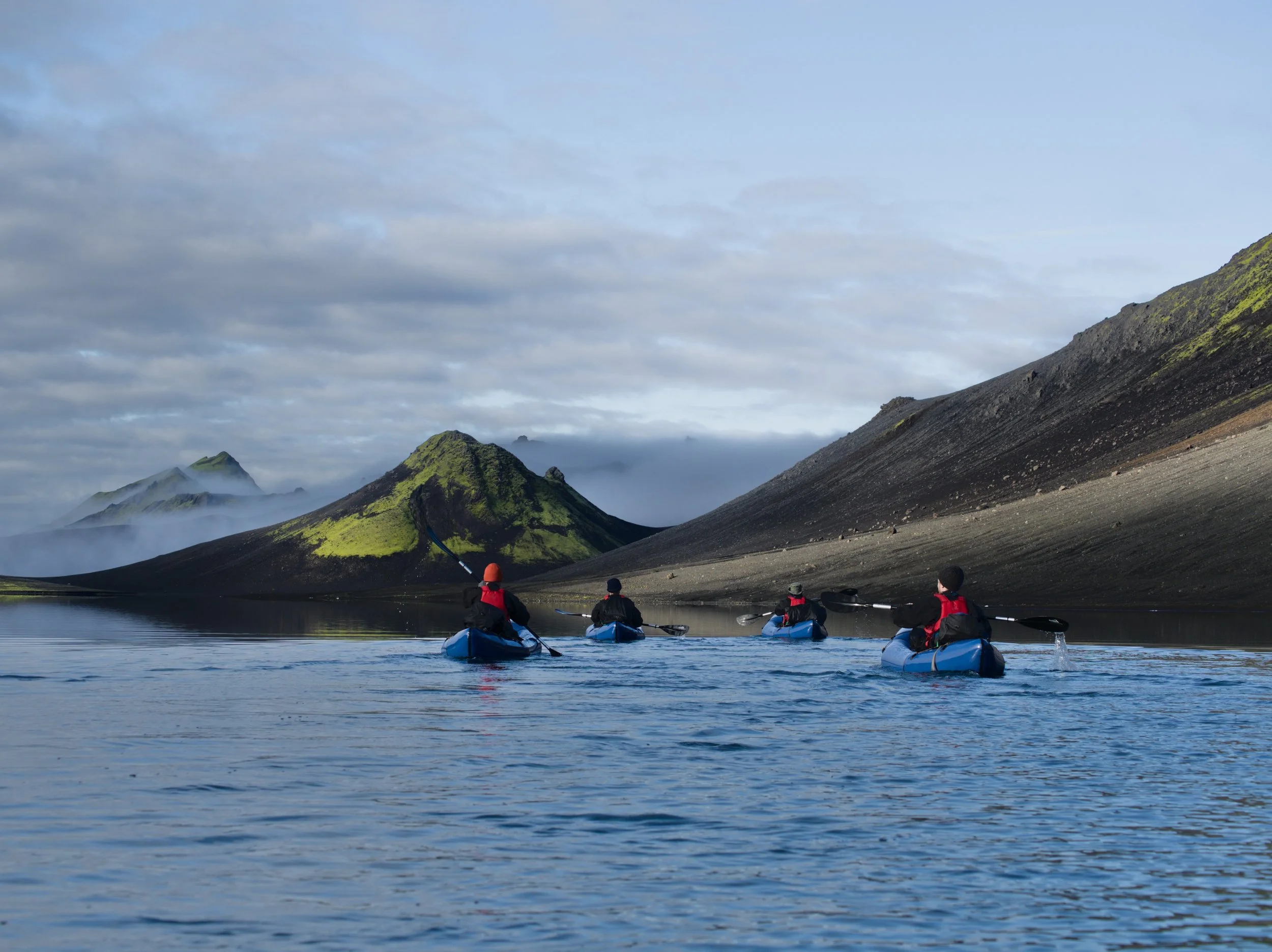
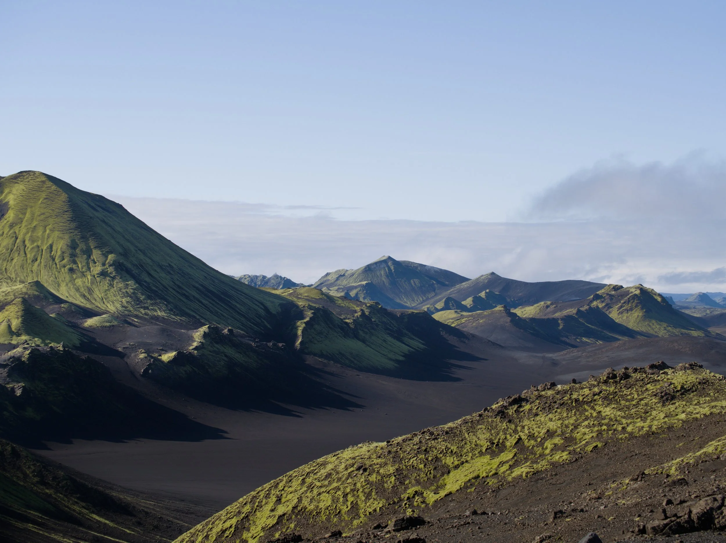
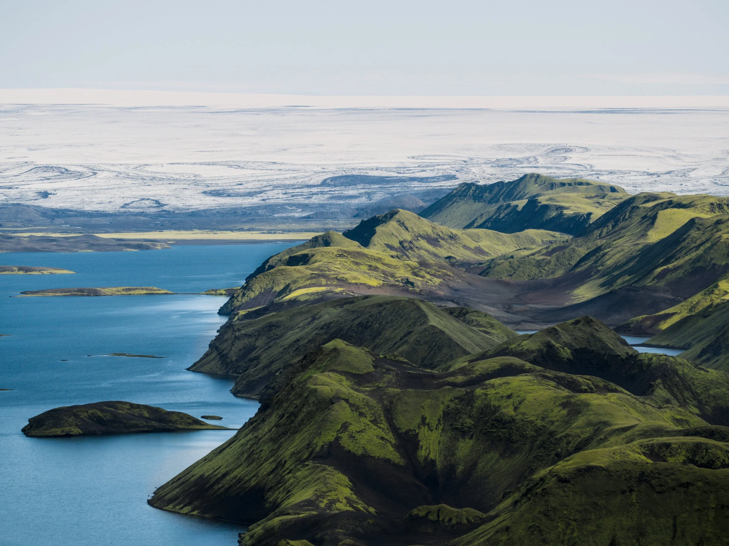
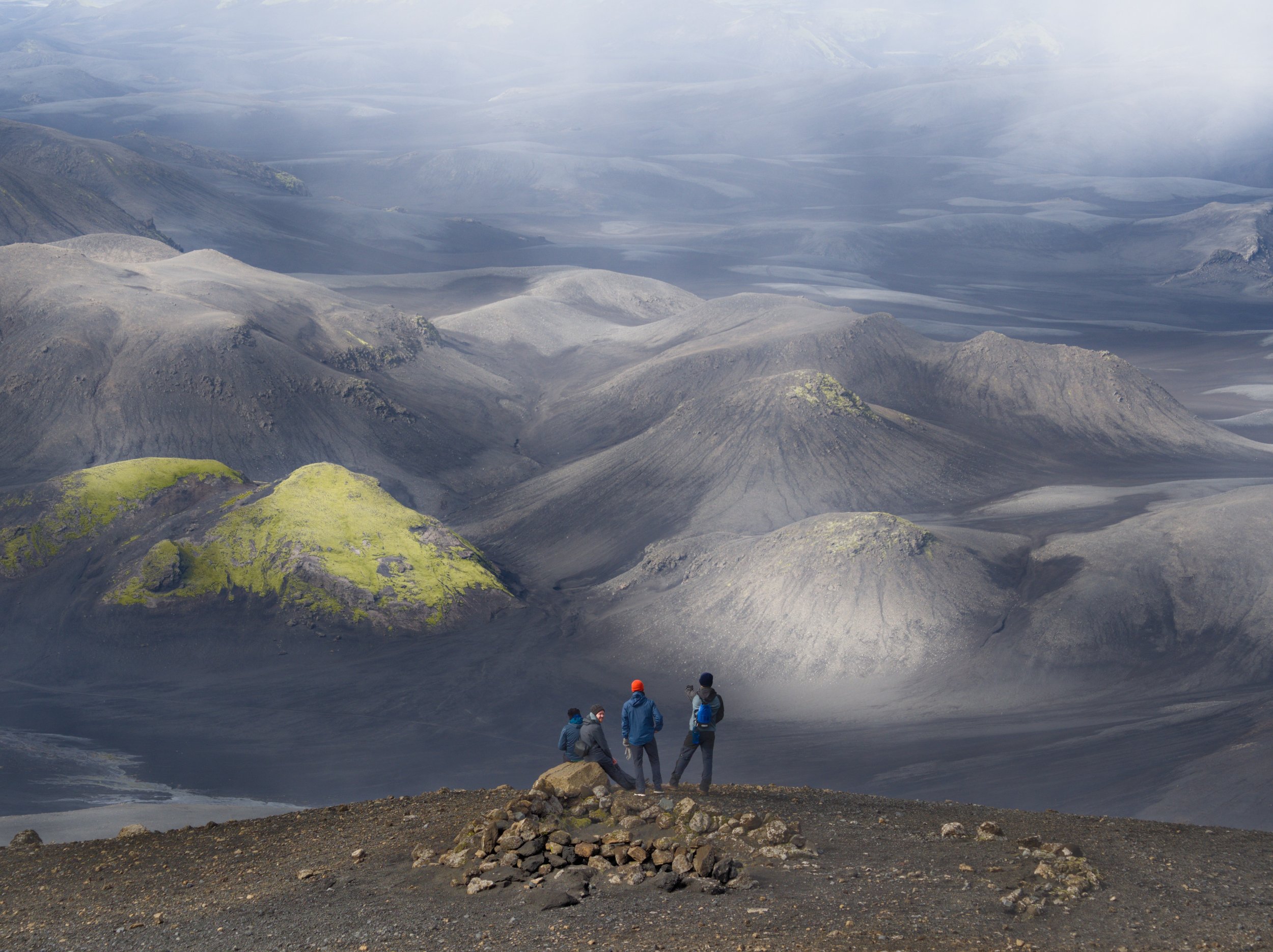
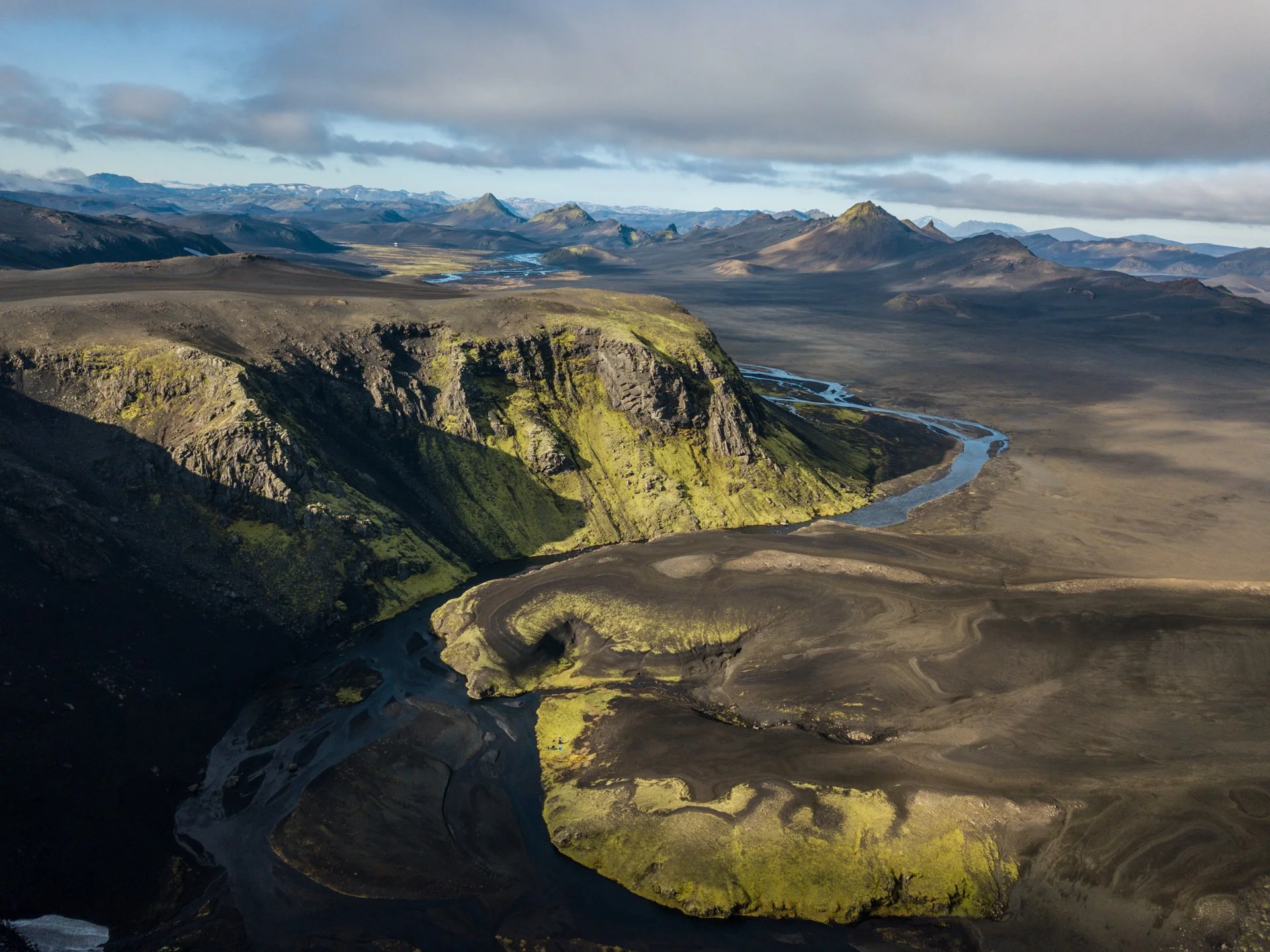
Image 6 © Marek Čavojský. All others © North Tides
Day 3 Lónakvísl to Jökuldalskvísl
30 km
A long day of paddling.
After breaking camp, hike 5 km to a low pass overlooking a lake which feeds the river Tungnaá (64.132027, -18.583409).
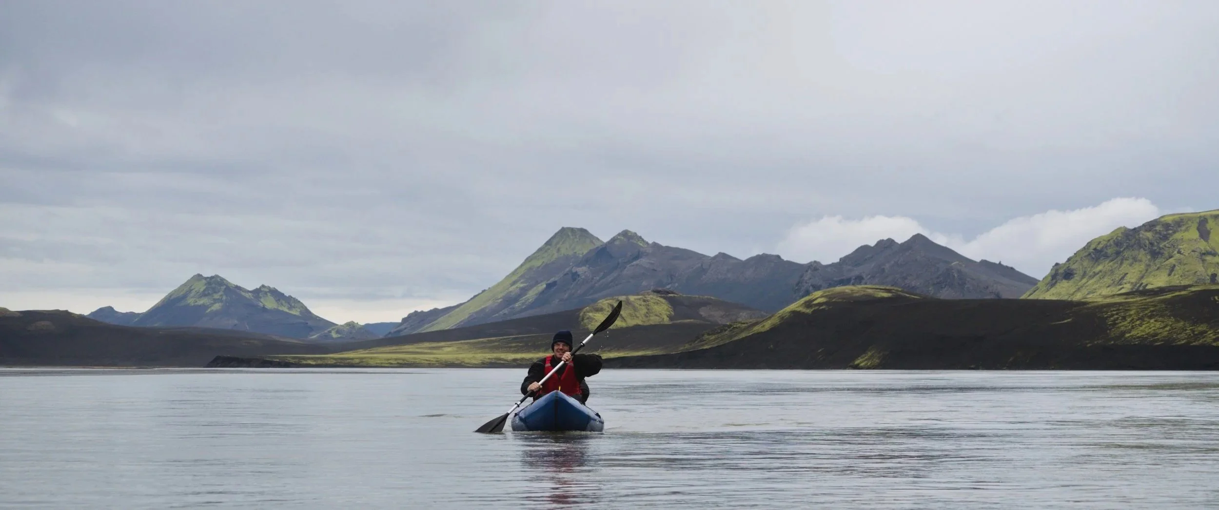
Put in at the lake and paddle to the northern edge, where it joins Tungnaá.
Tungnaá is a glacial river from Tungnaárjökull, an outlet glacier of Vatnajökull icecap. The river is flat until the takeout, with no swift water rapids, obstacles or hazards.
In fact, the low gradient of the river is the main challenge. The river braids out wide, reducing the depth of its constituent streams. In many places, the river is simply too shallow to paddle without getting stuck on the sandy bottom. By placing your legs on the bow of your packraft, and leaning back into a lying position, it is possible to spread your weight across the boat and paddle through shallower water than is otherwise possible, but sometimes it is necessary to exit the boat and drag it to a deeper stream. This is made easier by having a length of cord attached to the front of the boat that you can pull.
It is also a good idea, if possible, to scout the upcoming section of river with a drone to identify where the main stream of water is going. With this tactic, it will likely still be necessary to drag the boats occasionally, but you know that deeper water should be close by.
After 5 km, the river narrows considerably before braiding out again. The second braided section is most challenging: at its widest, the river is almost 2 km wide and made up of hundreds of small braided streams.
After passing the widest section, the river narrows again (64.084037, -18.735611) and it should be possible to paddle the rest of the distance with little or no boat dragging! Option B puts into the river at roughly this point.
A further 5 km downstream (64.034328, -18.827171), ensure to stay to river left when the river branches out.
Take out of the river at a mossy campsite on the river left where Jökuldalskvísl joins Tungnaá (64.003791, -18.913369).
The area on the western bank of Jökuldalskvísl is best for camping; don’t try to exit Tungnaá too soon, as the river is quite shallow. Instead, stay in the main stream of Tungnaá for as long as possible before breaking left towards the shore.
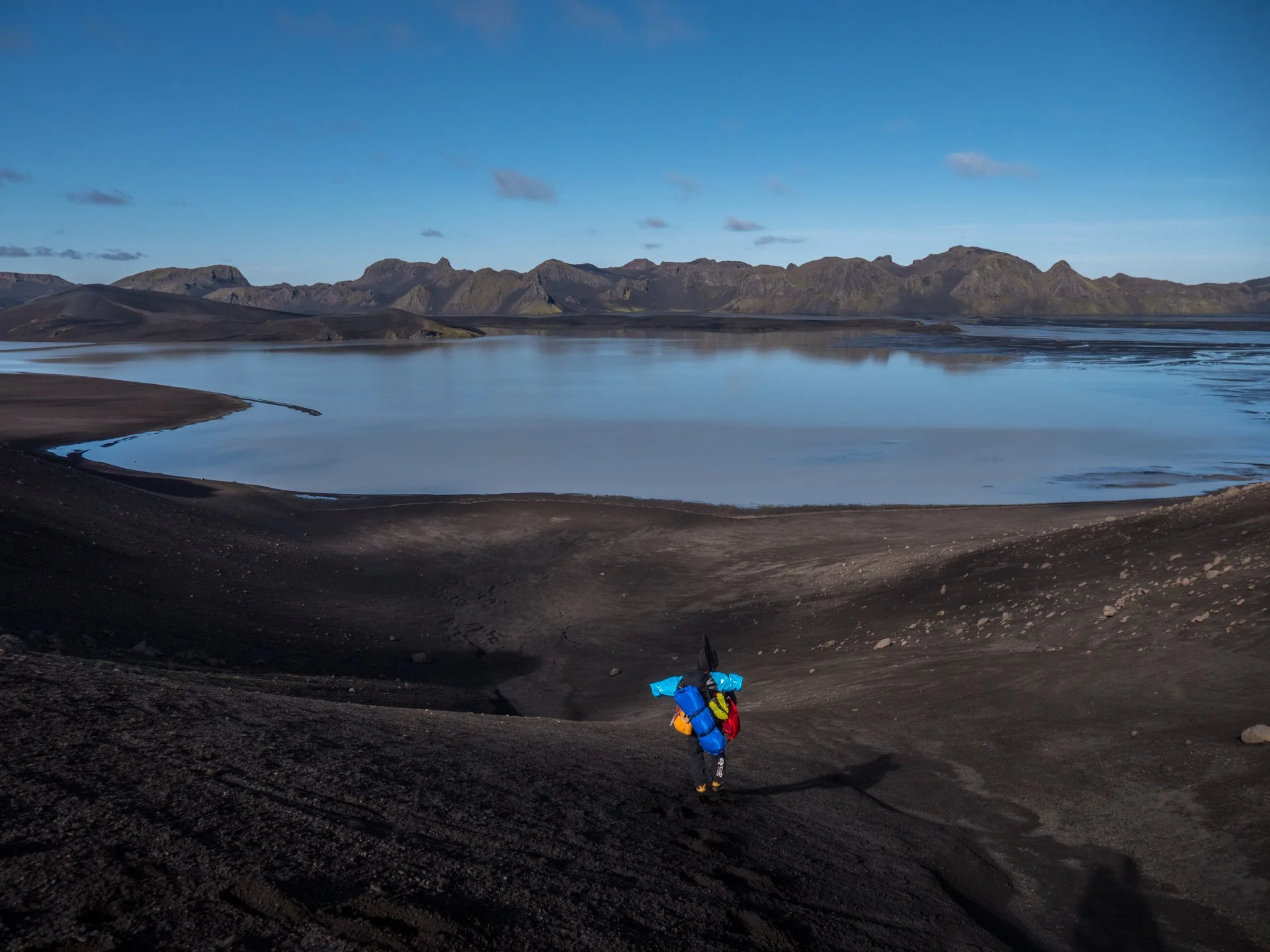
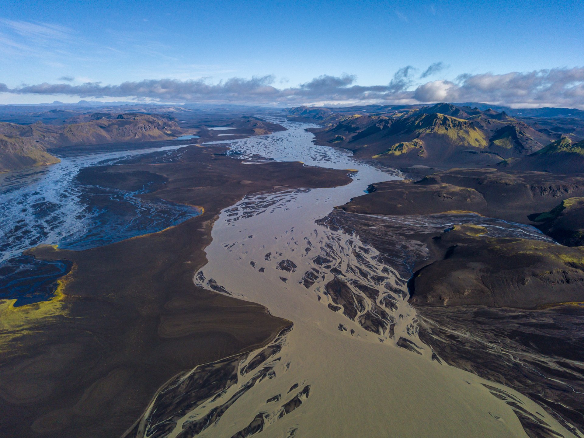
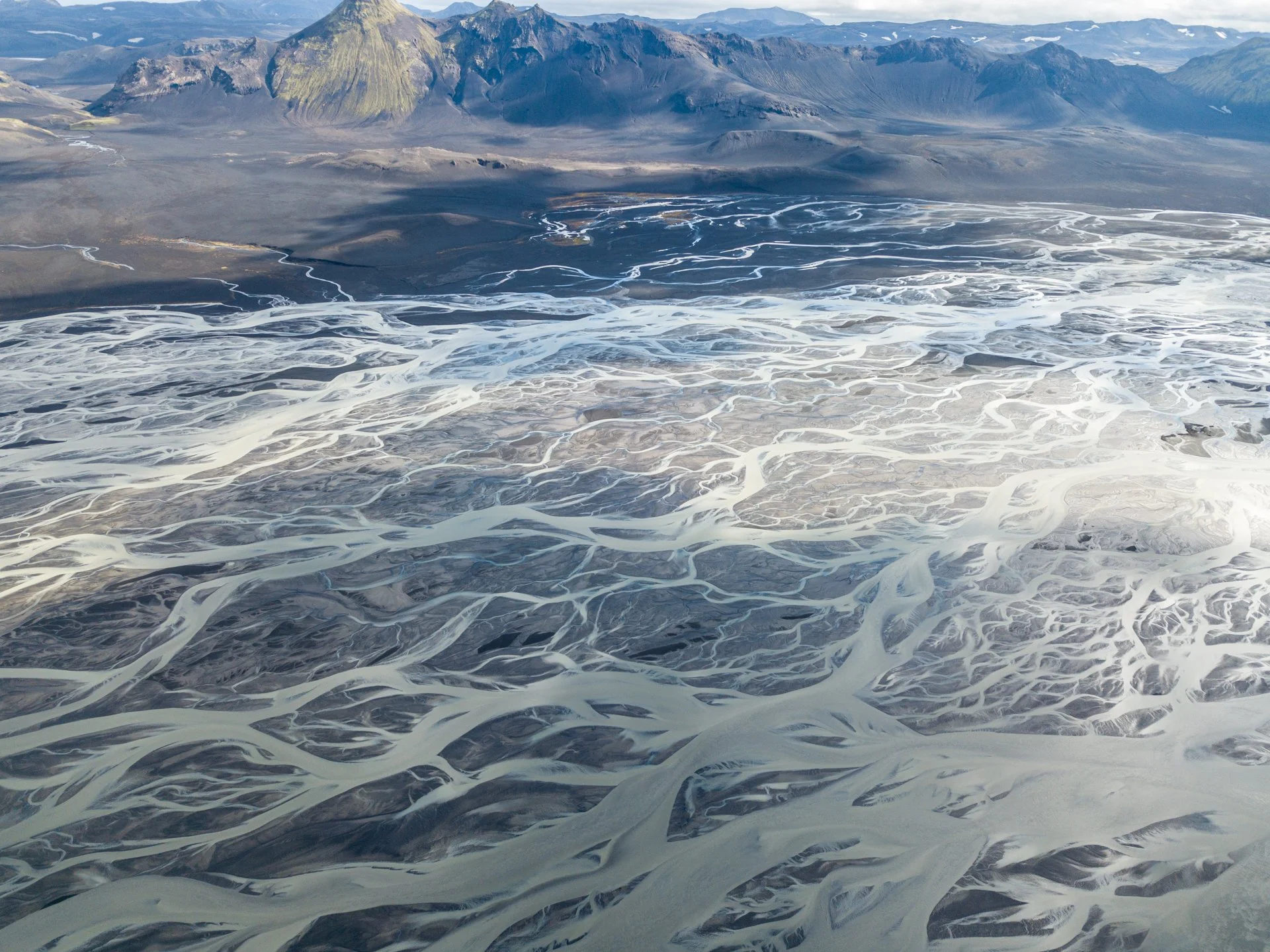
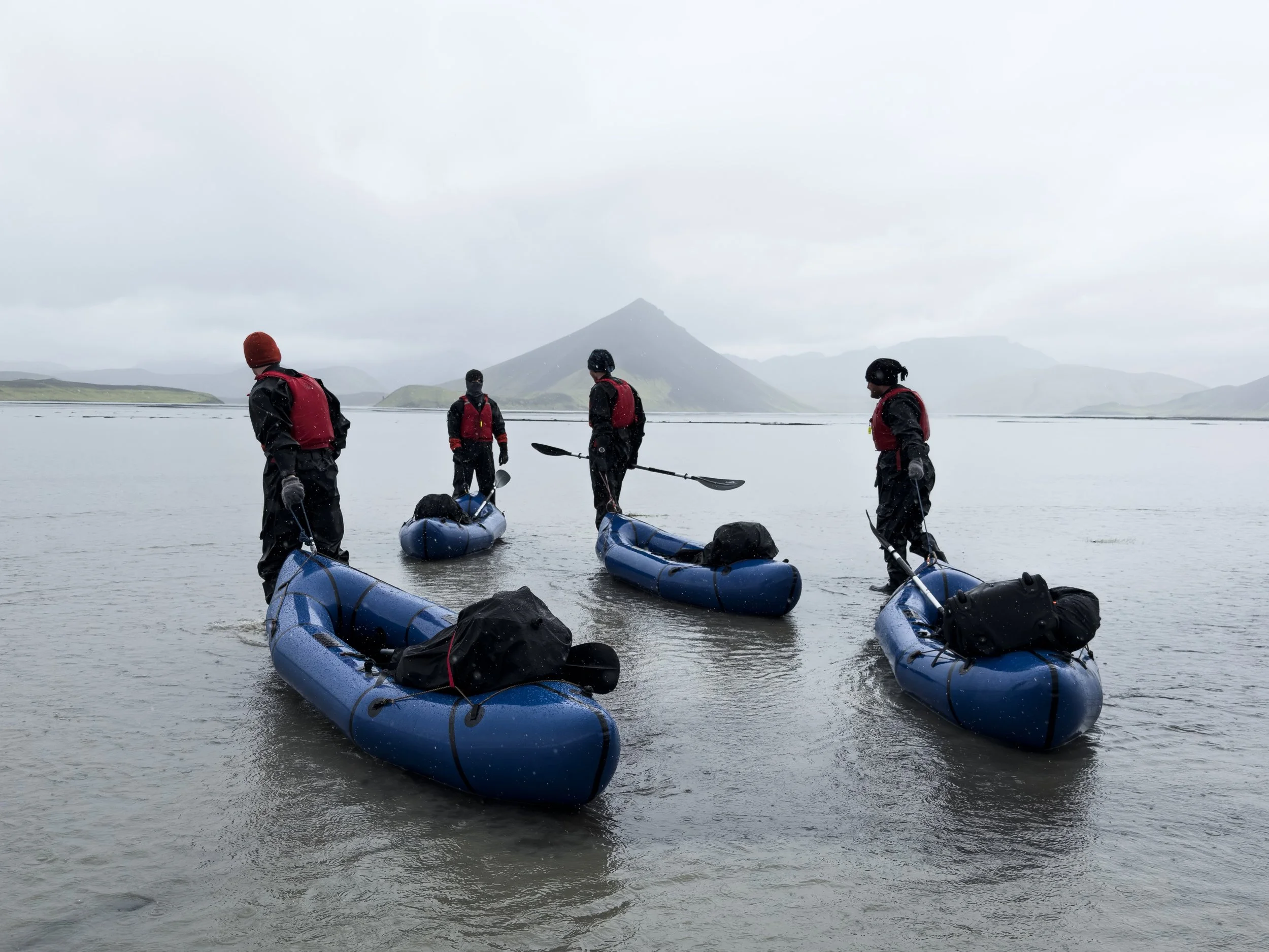
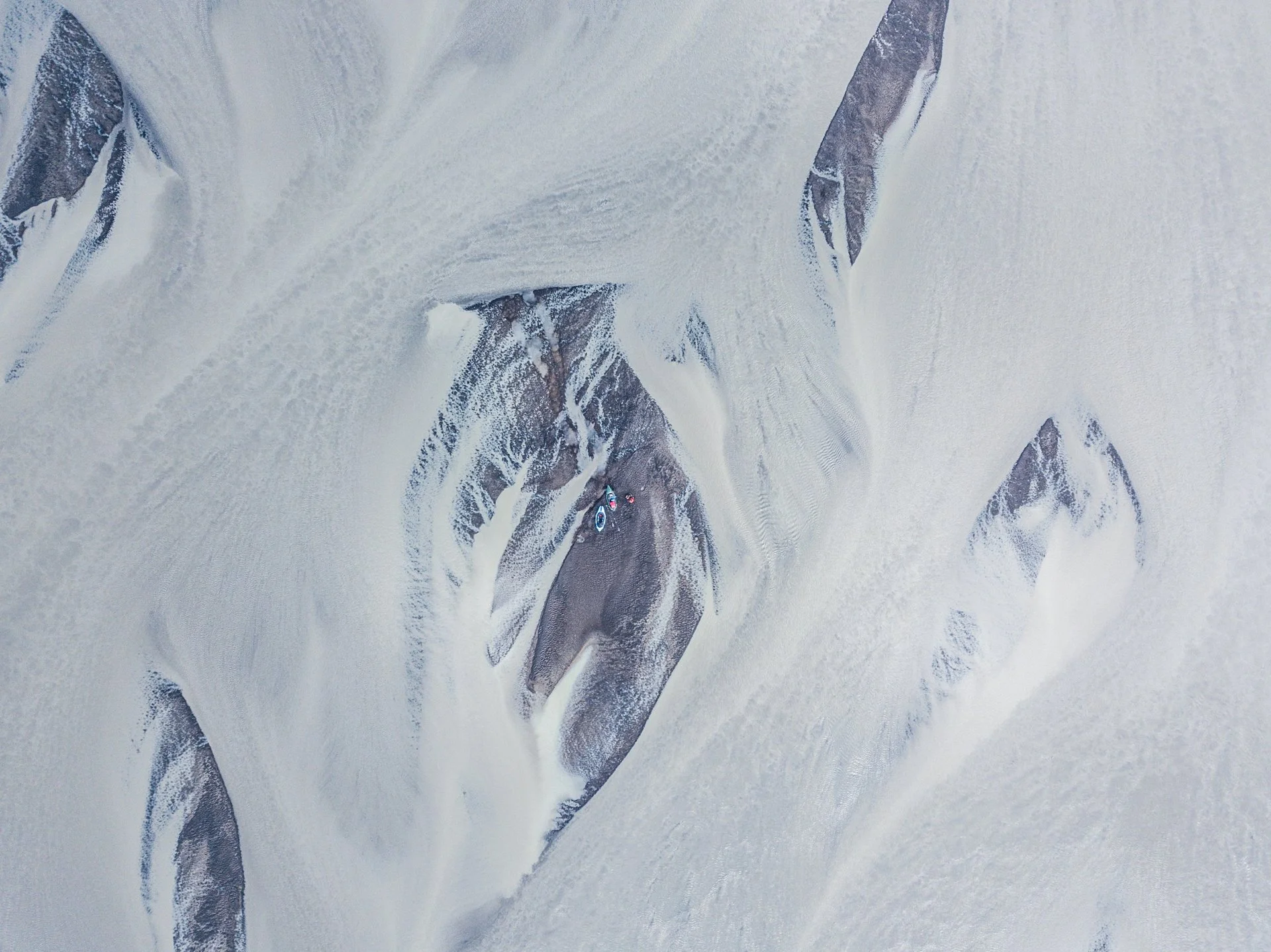
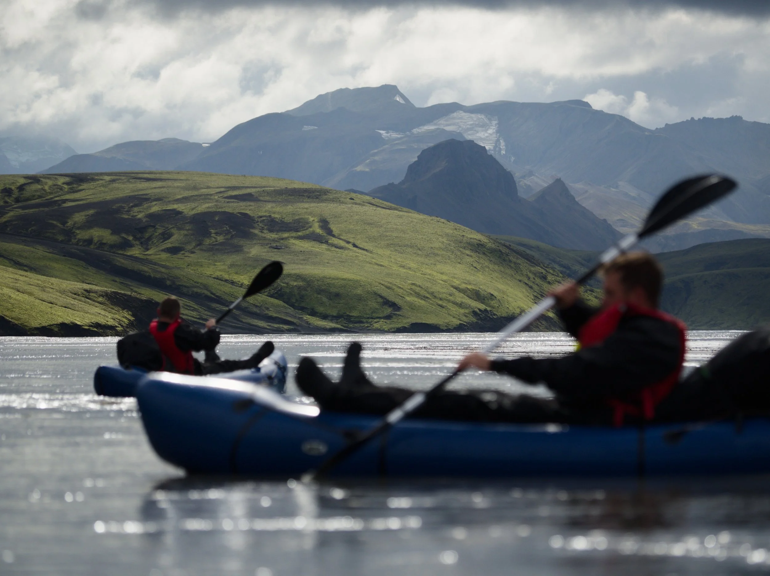
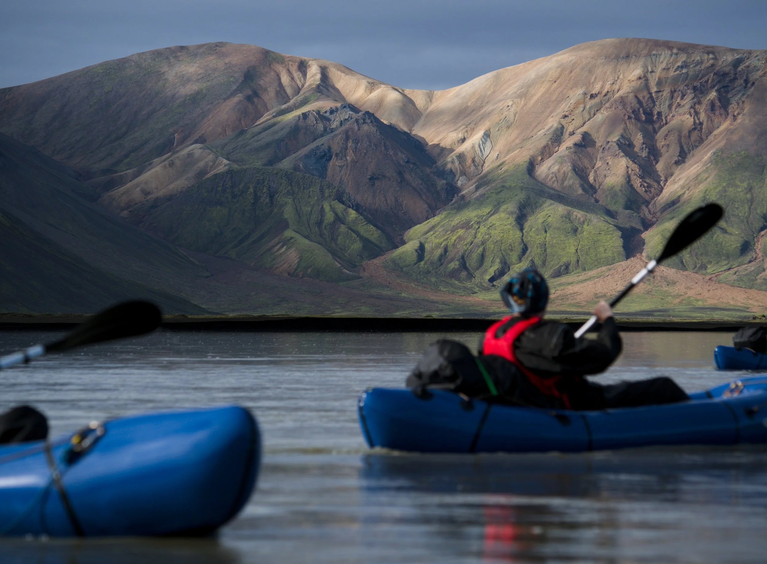
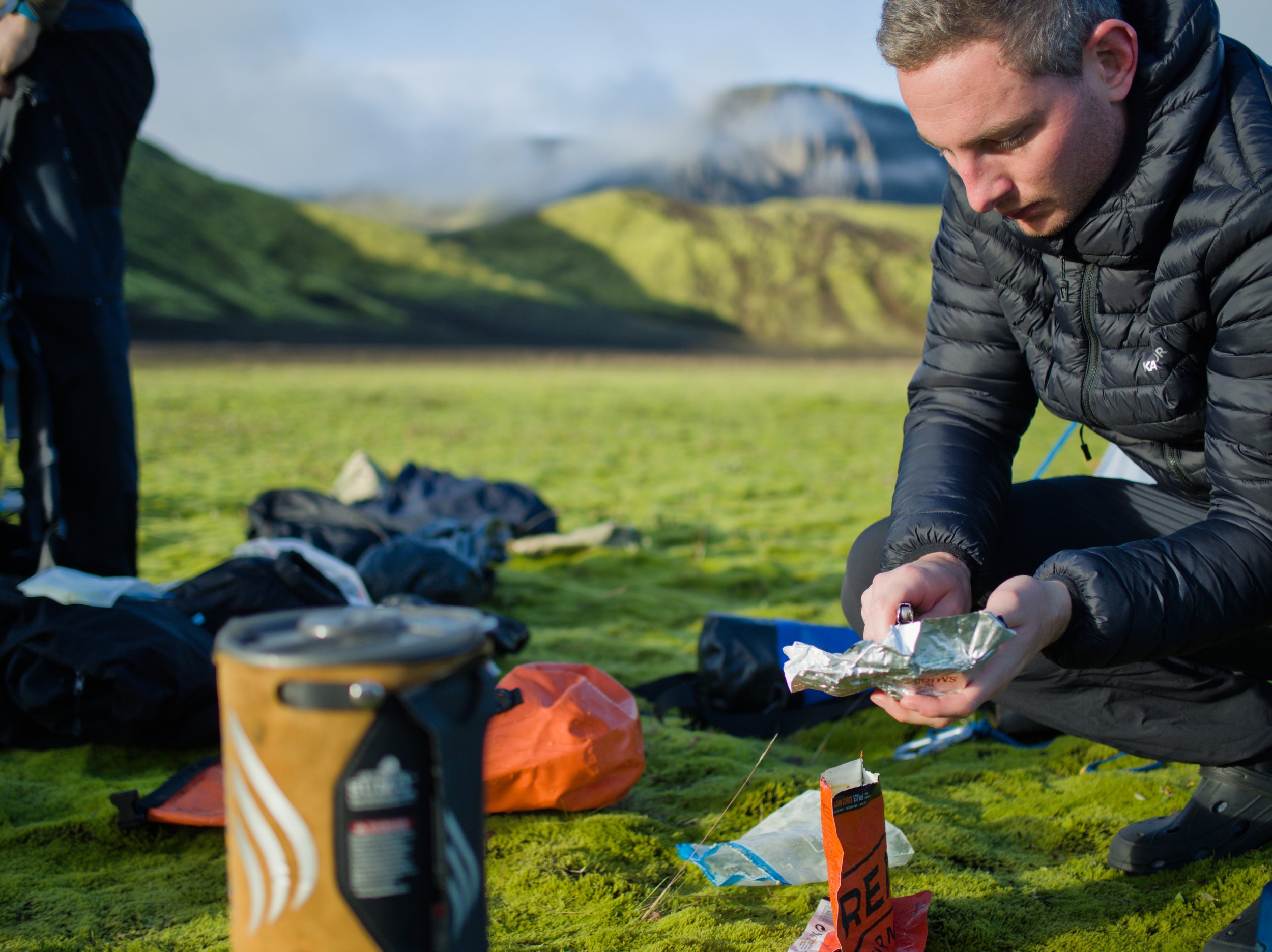
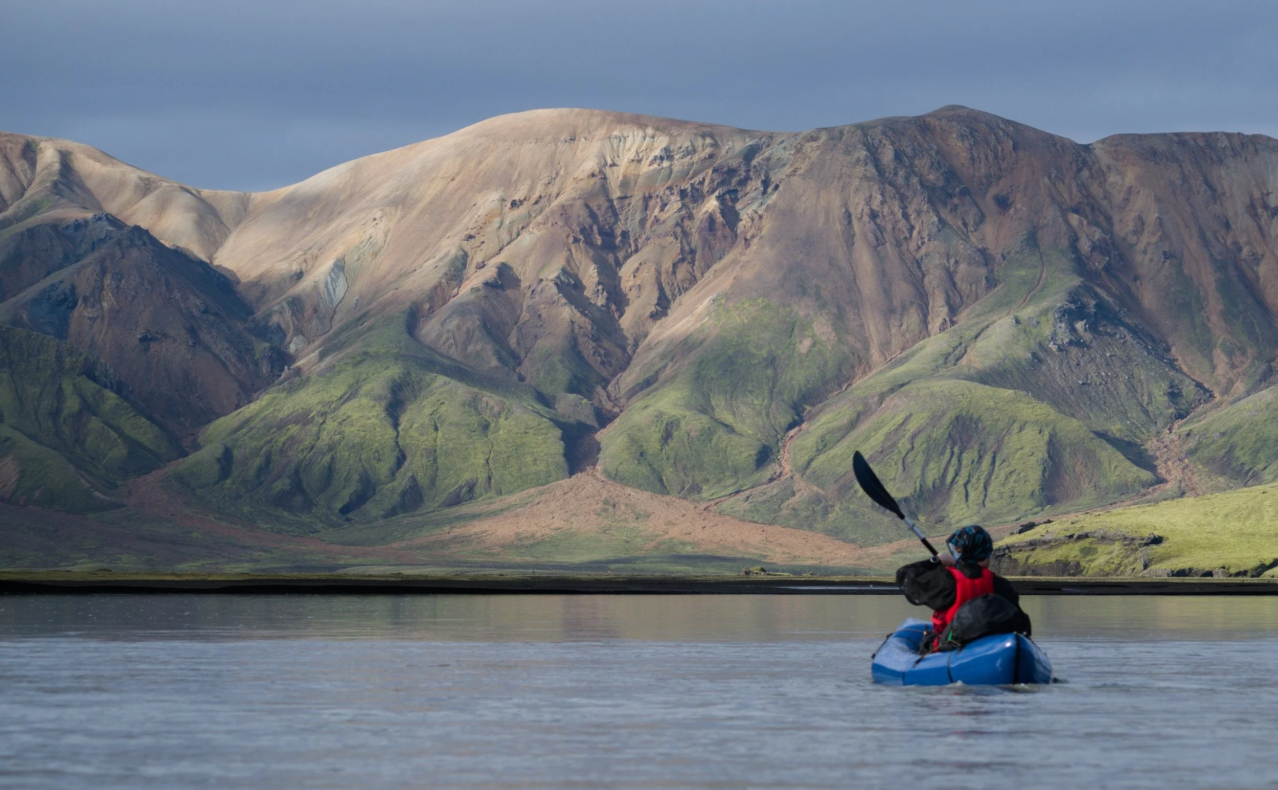
Images 1, 2, 3, 5 © Marek Čavojský. Image 4, 6 © North Tides
Day 4 Jökuldalskvísl to Landamannalaugar
8 km
A short day, with an easy float to the takeout and a final 5km hike to Landmannalaugar.
From the takeout (64.003736, -18.913104), hike to the F208 bridge (64.009417, -18.998253) and then hitch or hike the 5km to Landmannalaugar. Enjoy the return to “civilisation” and jump into the best hot springs in Iceland!
Option B
Option B is a variation of days 2 and 3 which trades approximately 10km of the most braided section of Tungnaá for 10km hiking. Whilst packrafters are generally happier to be paddling, rather than hiking, this route does have some advantages:
Easier 4x4 access in case of evacuation due to illness/injury.
Amazing camping spot.
Avoids the most shallow/braided section of Tungnaá.
This route may be preferable if, for example, there is bad weather forecast for day 3 (e.g. strong headwinds), if drone reconnaissance of the most braided sections of Tungnaá is not possible or if the river level in Tungnaá is very low.
Starting at the fork in the road west of Langisjór (64.108674, -18.477512), turn left and follow the road for approximately 1.5 km. Quest off right into the black sand desert and aim for a low pass (64.108409, -18.520613). Continue NW across the sand to a gully (64.120687, -18.546685) which leads down to the river Lónakvísl.
Here, you can check the water level and see if it is sufficient to paddle down towards the camp*. Our team had approximately knee-high water at the put-in (64.117773, -18.561856) and this was more than enough for an easy and beautiful 2.5 km float to the take-out next to a lake (64.107879, -18.603695). Note: downstream, the river enters a canyon and there are multiple waterfalls. Don’t miss the takeout!
Drag the boats to the lake, cross the lake and pack up the boats (64.107194, -18.606290). Walk over a small hill to one of the most amazing camping spots imaginable- vivid green moss, jagged mountains and a waterfall (64.107126, -18.617438).
*If the water level is not sufficient, hike via (64.110246, -18.576449) to a lake (64.103471, -18.592362). Follow the dirt track to a small fishing hut (64.103006, -18.600655) and from here to the campsite (64.107126, -18.617438)
Day 3B Lónakvísl to Jökuldalskvísl
From camp, hike SSW via a sandy gully (64.103167, -18.622928) to a canyon bisecting the mountains to your right (64.090628, -18.650359). Walk through the canyon and turn left to continue walking through the sand towards Tungnaá river. You can walk almost directly to the put-in, but this will involve crossing an area of mud/quicksand. Instead, follow a dirt road SW for 2 km before cutting right towards the river (64.076893, -18.694858).
Here, we can put-in to the river (64.085275, -18.717172) and rejoin option A towards the take-out at Jökuldalskvísl (64.003791, -18.913369), ensuring to stay left when the river widens (64.034328, -18.827171).
View the map showing the entire route, including variation B, below.